Filtres
Filtres
- Programme préparatoire
- Certificat
- Programmes de sciences naturelles
- Géoinformatique
- Sur le campus
Trier par
2 Géoinformatique Certificat Degree Programs

Saskatchewan Polytechnic
Certificate in Geographic Information Science
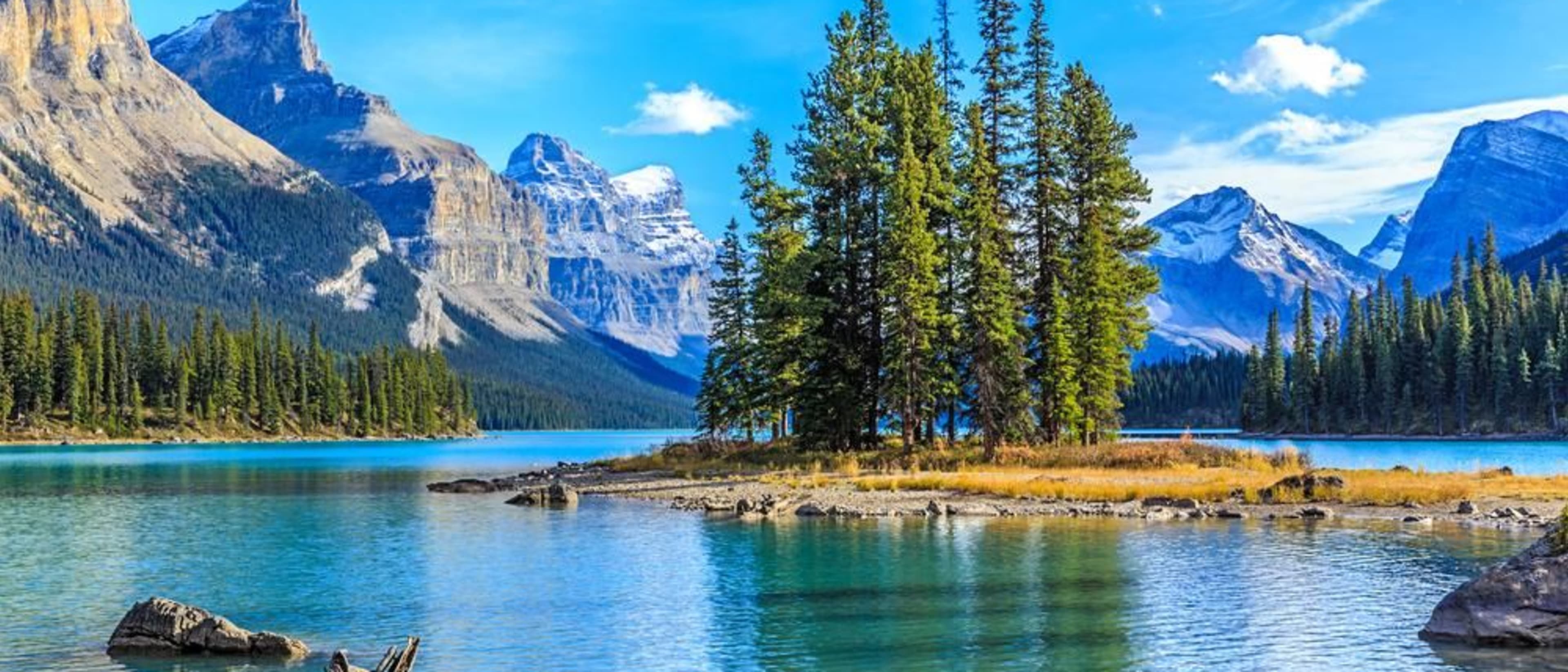
- Prince Albert, Canada
Certificat
À plein temps
32 semaines
Mélangé, Sur le campus
Anglais
Geographic information science (GIS) is a relatively new field that uses computer technology to link maps to digital data. Resource managers and urban planners rely on the expertise of GIS technicians when they are making critical decisions about asset management, environmental assessment, development, and harvest. GIS skills are applicable in any organization that maintains assets in the environment.

Faculty of Environmental & Urban Change | YORK UNIVERSITY
Certificate in Geomatics: Geographic Information Systems (GIS) and Remote Sensing
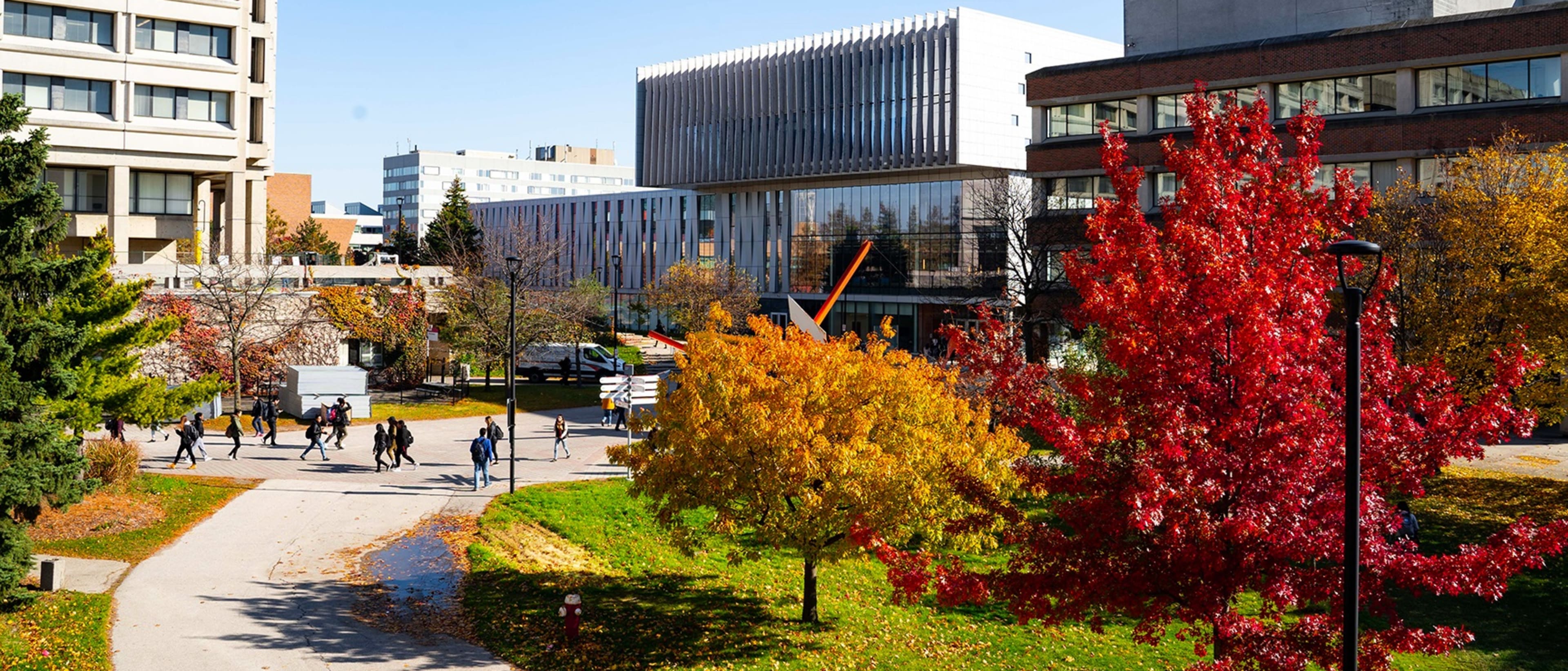
- Toronto, Canada
Certificat
À plein temps, À temps partiel
1 an
Sur le campus
Anglais
Geomatics encompasses the logic, art, science, and technology involved in collecting, managing, and communicating geographically-referenced information in its many forms. The Geomatics Certificate combines the study and immersion within the major developments experienced in geographical information science, geographic information systems, remote sensing, photogrammetry, and global positioning systems by linking theories and science to experiences that intersect hardware, software, equipment, algorithms, and techniques.
Les meilleurs programmes pour vous
Répondez à quelques questions et nous vous proposerons des programmes qui vous correspondent !
Type de diplôme populaire
Format d'étude populaire
Lieux populaires
Learn more about Géoinformatique Certificat degree programs
Les ingénieurs futurs ou actuels, intéressés par la technologie de levé utilisée dans des applications telles que la cartographie, pourraient être intéressés par la poursuite de l'étude de la géoinformatique. En tant que branche de l'ingénierie, la géoinformatique peut être axée sur la technologie, la collecte, la préservation et l'analyse de la géographie.
Le certificat apporte la preuve que le titulaire a acquis un certain nombre de compétences particulières. Les diplômés ont suivi un cycle d'études et ont passé les examens nécessaires. Une fois la formation achevée, ils sont prêts à se lancer dans des études supérieures ou dans le monde professionnel dans leur domaine de spécialisation.